Mapping the ice stratigraphy in IceCube using camera deployment footage

Mapping the ice stratigraphy in IceCube using camera deployment footage
Anna Eimer for the IceCube Collaboration, Martin Rongen for the IceCube Collaboration
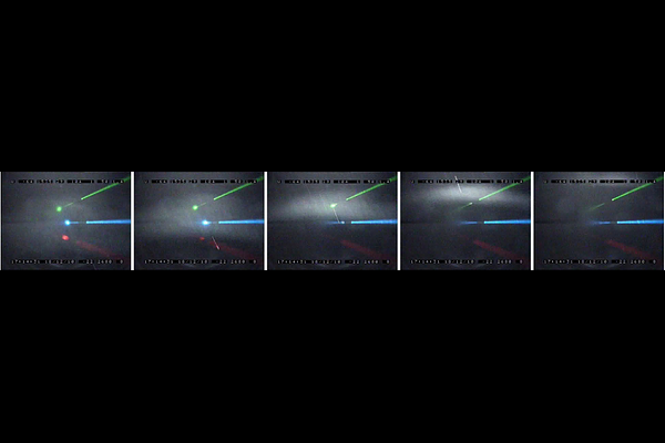
AbstractThe IceCube Neutrino Observatory is a cubic-kilometer Cherenkov array deployed in the deep, glacial ice at the geographic South Pole. An important feature of the instrumented ice are undulations of layers of constant optical properties over the footprint of the detector. During detector construction, these layers were mapped using stratigraphy measurements obtained from a stand-alone laser dust logger. While this system is very precise, its cost does not scale to the instrumented volume envisioned for the proposed IceCube-Gen2 Observatory. Here, we explore the possibility of obtaining equivalent stratigraphy data from camera footage recorded during the deployment of IceCube more than a decade ago. If successful, this could be an alternative technique to be considered for IceCube-Gen2.